Aerial Photogrammetry
Aerial Photogrammetry is the science and technology of obtaining reliable information about physical objects and the environment through the process of recording, measuring and interpreting photographic images and patterns of electromagnetic radiant imagery and other phenomena.
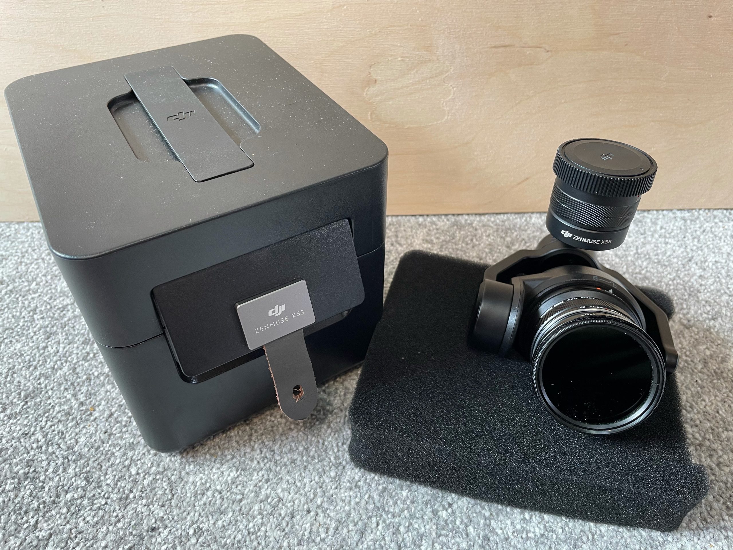
At EDC, we are constantly looking at new products and we are lucky enough to test out a lot of different components during test stages of supply and repair. This gives us a unique ability to understand what the ‘best tool for the job’ would be in different environments.
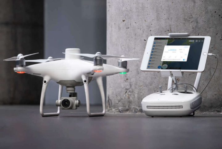
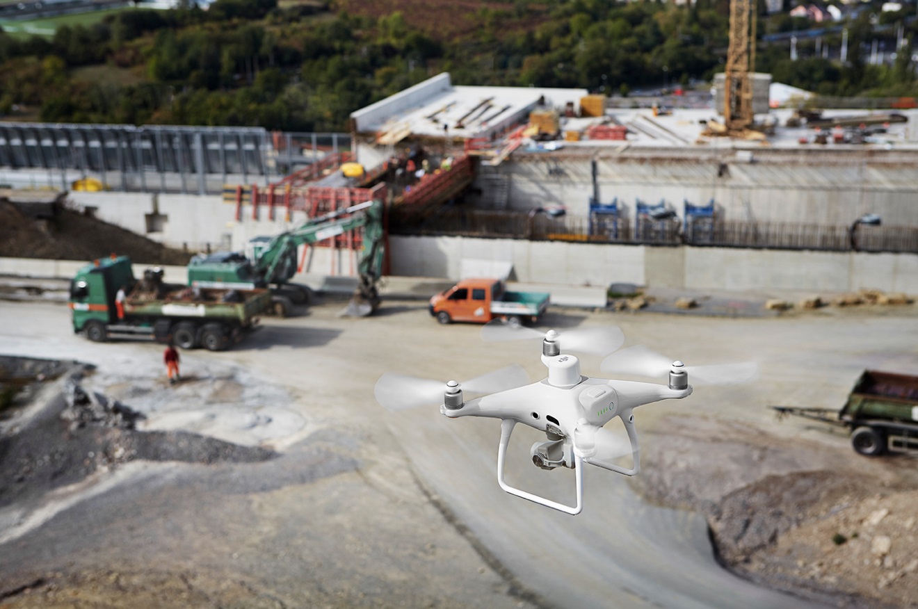
The combination of cutting edge drone technology and expert pilots, we can offer highly accurate aerial photogrammetry for many different commercial uses. You will see below just some of the drone photogrammetry projects we have been involved with:
- Current building condition model
- Stock pile counts
- Roof surveys / inspections including 3D
- 3D Important buildings
- Building projects
- Estates management
The 3D models created allow both the surveyor and the client understand the project better.
PROCESS
We discuss, plan and price project. On the day we will fly and capture as much detail as we require to create the 3D model. Once we have return to base, we upload the images to a software package we use and then save the file in a file format to suit.
3D MODEL VIEWERS
Not all viewers are created equal so we will advise on what 3D user to use on an individual bases to suit the requirement.
PERMISSION
We need 2 sets of permission in order to execute an aerial 3D drone model. We need land owners permission for take off and landing. We also require CAA permission to operate the drone we are using and to be able to fly in the area. At the moment, all our pilots are fully qualified and insured for any job we have been asked so far. If you have a difficult requirement, get in contact as we can always get the job done.
OFFICIAL SURVEYOR
We will use an official surveyor when required and sub contract this facility in. We do lots of photogrammetry and mainly supply the data to be used and review by a skilled and qualified surveyor. That being said, we are happy to work with surveyors and take care of the flight so all you have to do is survey the data we provide.
LIVE INTERACTION FROM SKILLED TEAM MEMBER
We are happy to have surveyors or similar qualified trades present when we are operating. No distractions can be around when our pilots are flying so if you require this facility, it is not standard and we will allow for a live link facility next to our spotter who can relay instructions via video link when requested and at appropriate height / survey location.
A bit about Edinburgh Drone Company and should you ever need to build a drone then have a look over our drone manufacturing page.