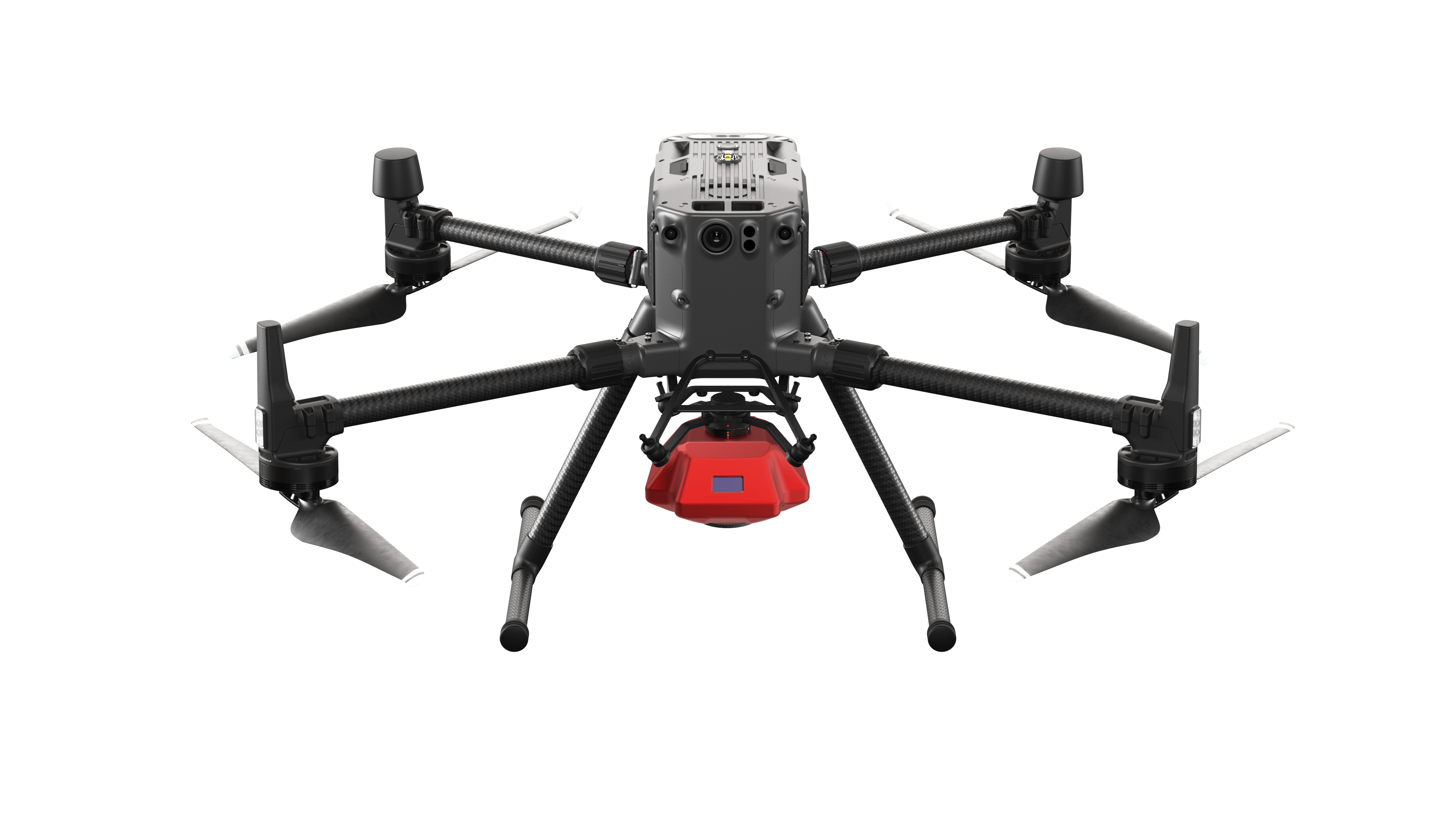
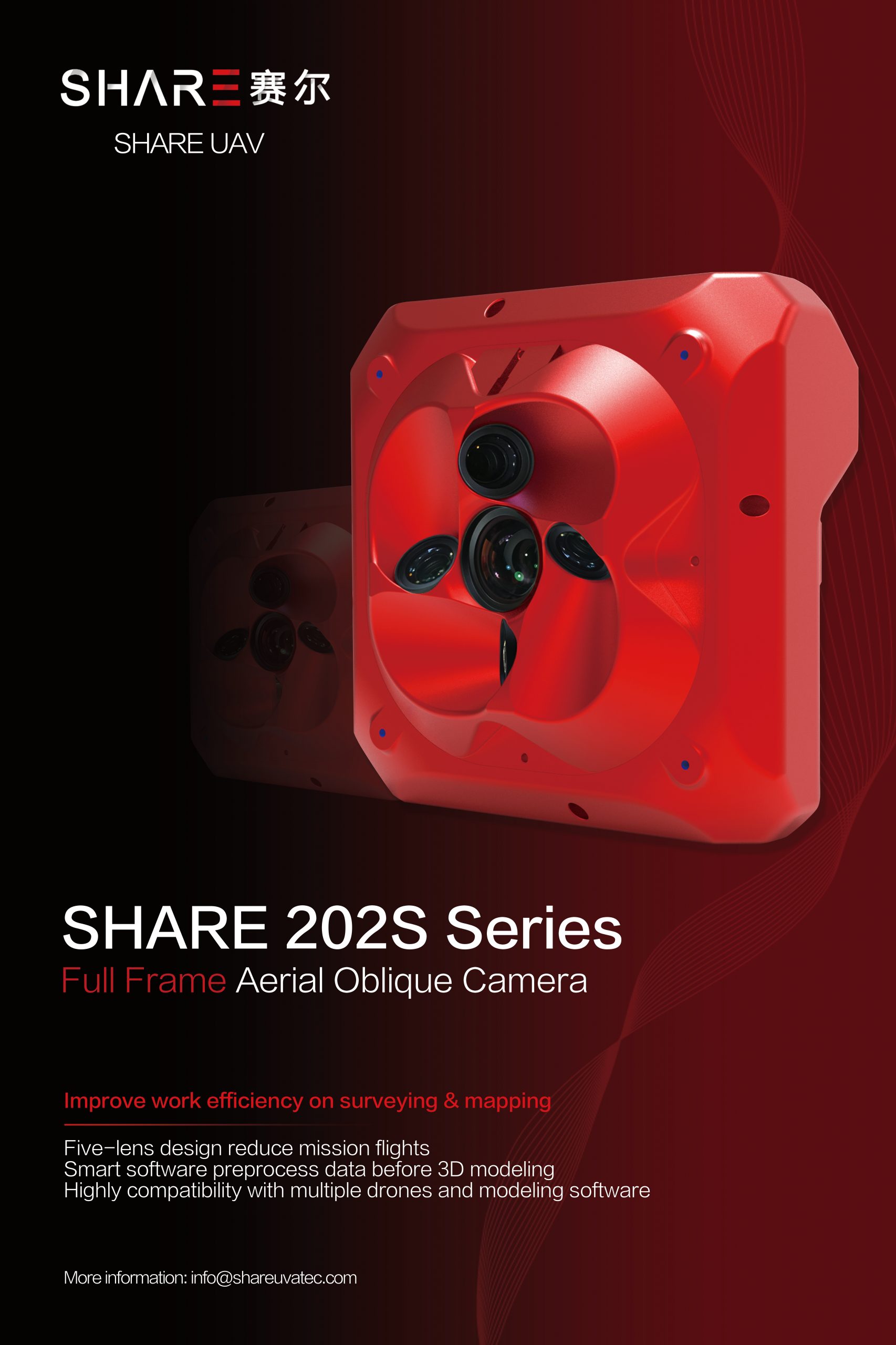
Professional Aerial Survey Solution – Share 202S Pro
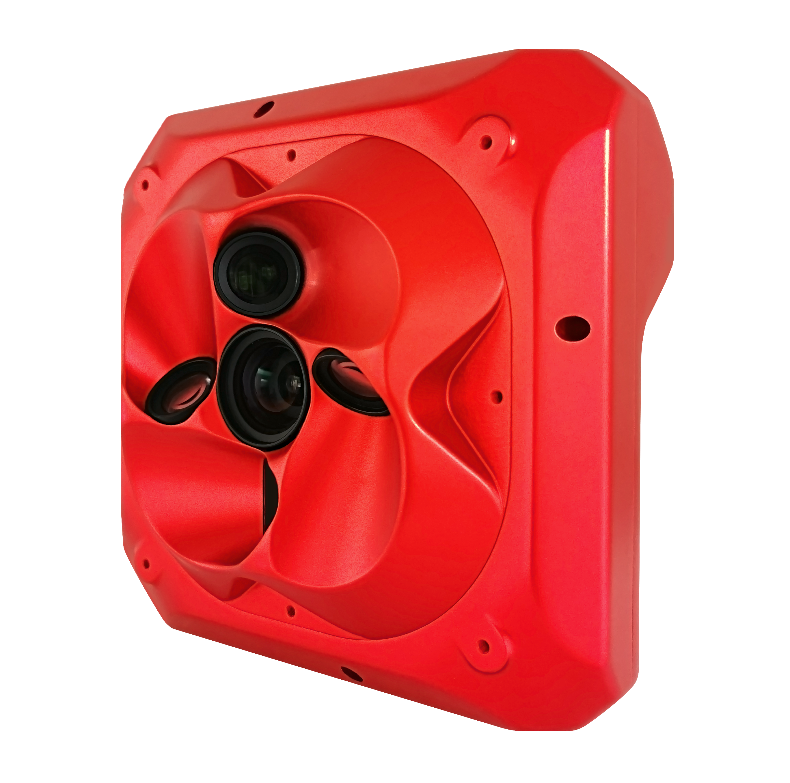
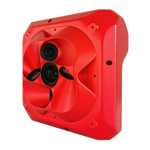
210 Million Pixels oblique Camera ( 42.4MP x 5)
Designed for urban terrain projects
Flagship full frame sensor, 210M effective pixels.
Retain the rich details of the image, to achieve truly urban data acquisition and restoration.
Present the real city scene and help build high quality digital assets
New possibilities for the professional aerial survey
When the GSD is 5cm, the altitude can reach up to 442m.
It can easily fly over high obstacles reducing the flying risk during field acquisition.
One person to complete entire process
GCP free and time synchronised, each camera has its own POS data which allows technology to meet the projects and applications needs. Not a single GCP is needed!
Liberate the productivity of site work and truly achieve the efficiency of one person workflow.
Professional aerial lens, with a wider field of view and a higher overlap rate
Nadir 40mm real wide angle focal length – This super coverage brings super large aerial film overlap rate allowing for more realistic modelling.
The 56mm tilt camera is similar to the human eye and reduces distortion of the images and fundamentally preventing the model from drawing or deforming.
Sufficient 1280GB Data storage
Synchronous recording of images and POS.
300 Mbit/s speed transmission combined with share UAV data integration algorithm to ensure accuracy of data.
Provide accurate aero triangulation
Improved pass rate and efficiency of data processing
Strong and Light weight aviation aluminium alloy
The CNC aviation aluminium alloy housing is made using a difficult process.
The payload weights only 1150 grams
More efficient flying of aircraft compared to heavier loads.
Fly safely and avoid risks
Nadir-view transmission can monitor obstacles using the payload in real time.
Real time terrain data is feed back through in high resolution.
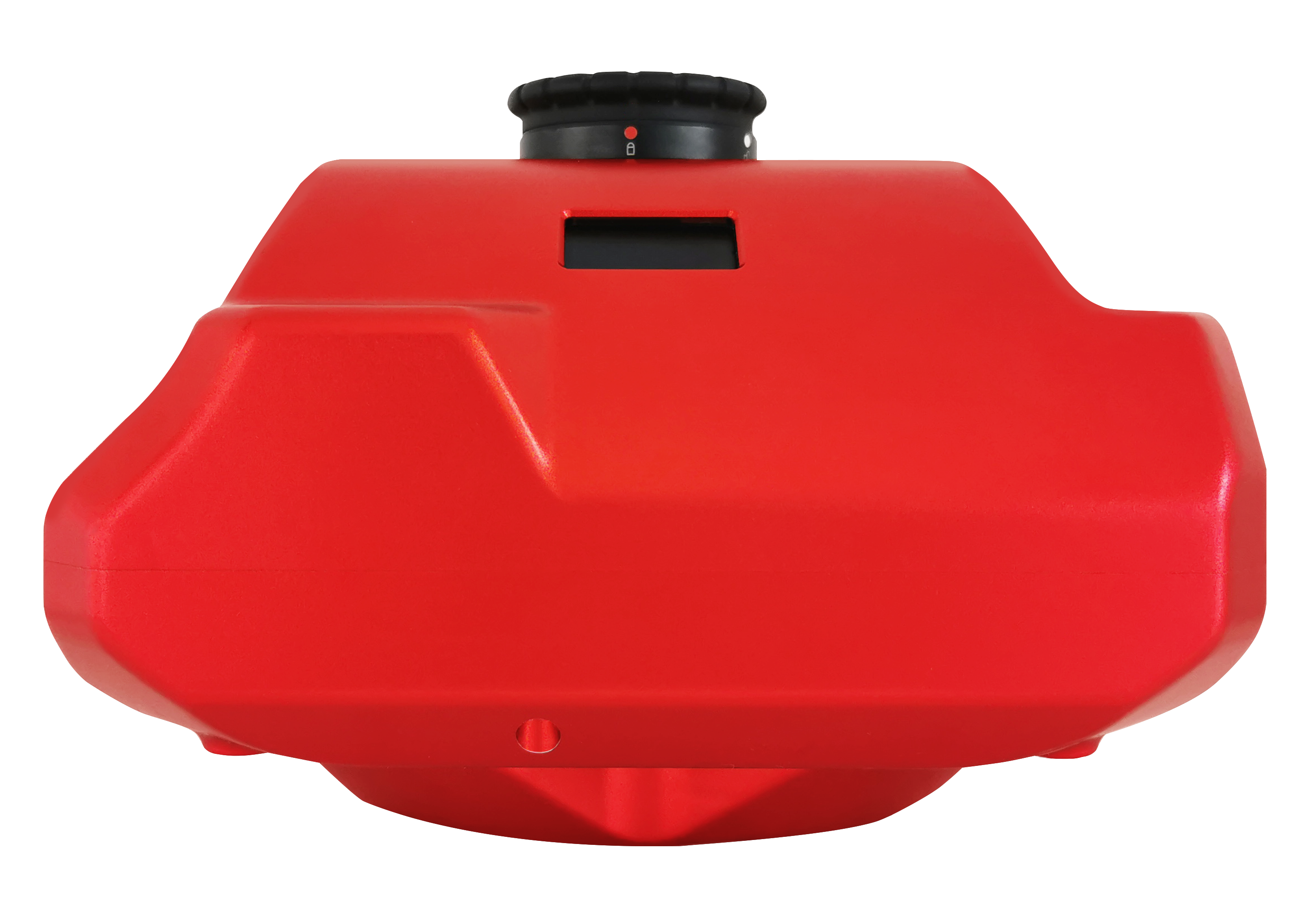
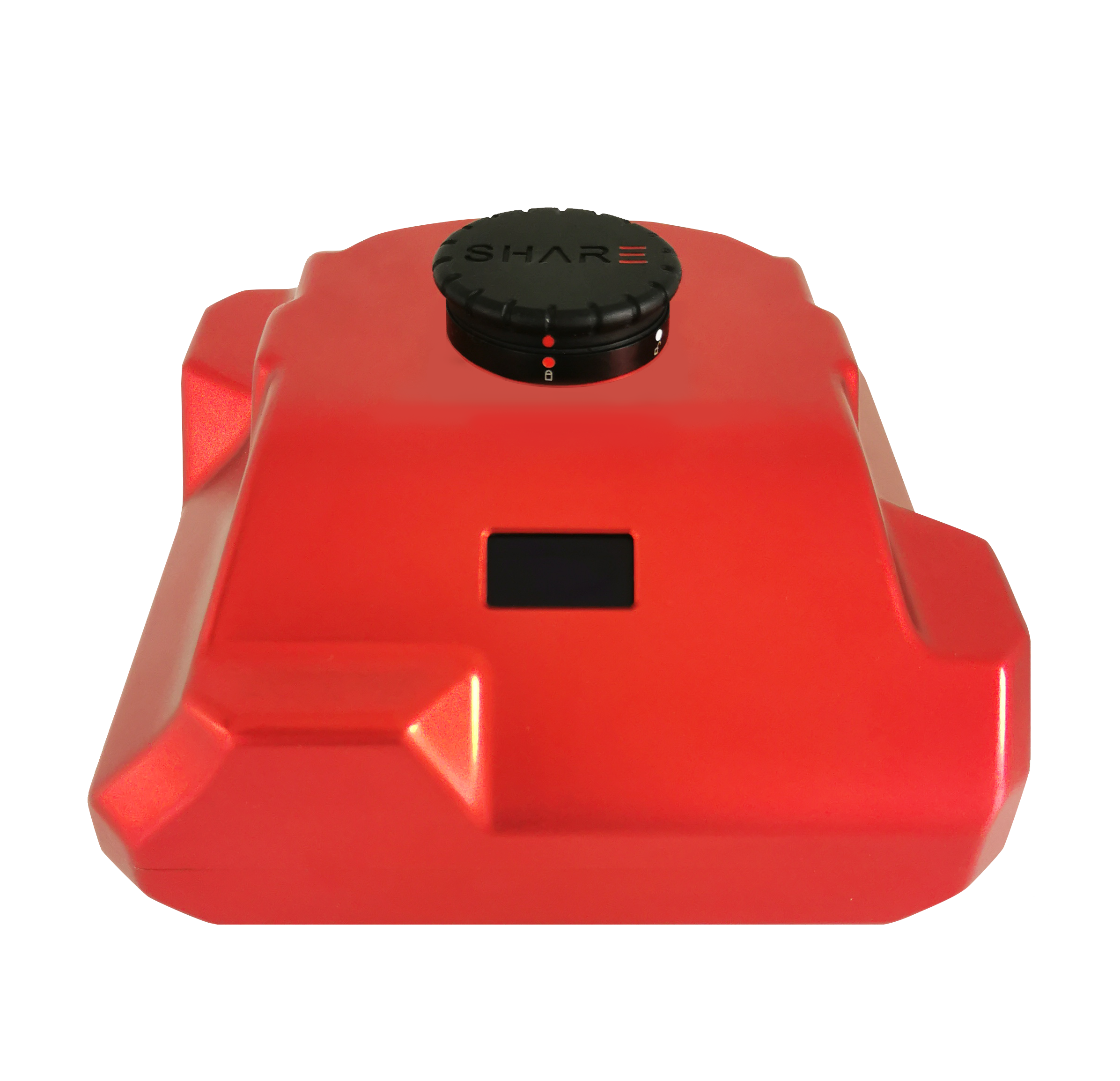
Visible information with inbuilt OLED screen
Iconic OLED screen integrated into housing of payload.
RTK status and the number of images from each perspective is shown in real time.
Quickly glance at the payload to see how the process went on landing or during checks.
Share data manager
SDM allows you to look after your payload, change settings, shutter speed and has all data.
The same software processes data ready to be imported to DJI Terra, Context capture on pix4d etc.