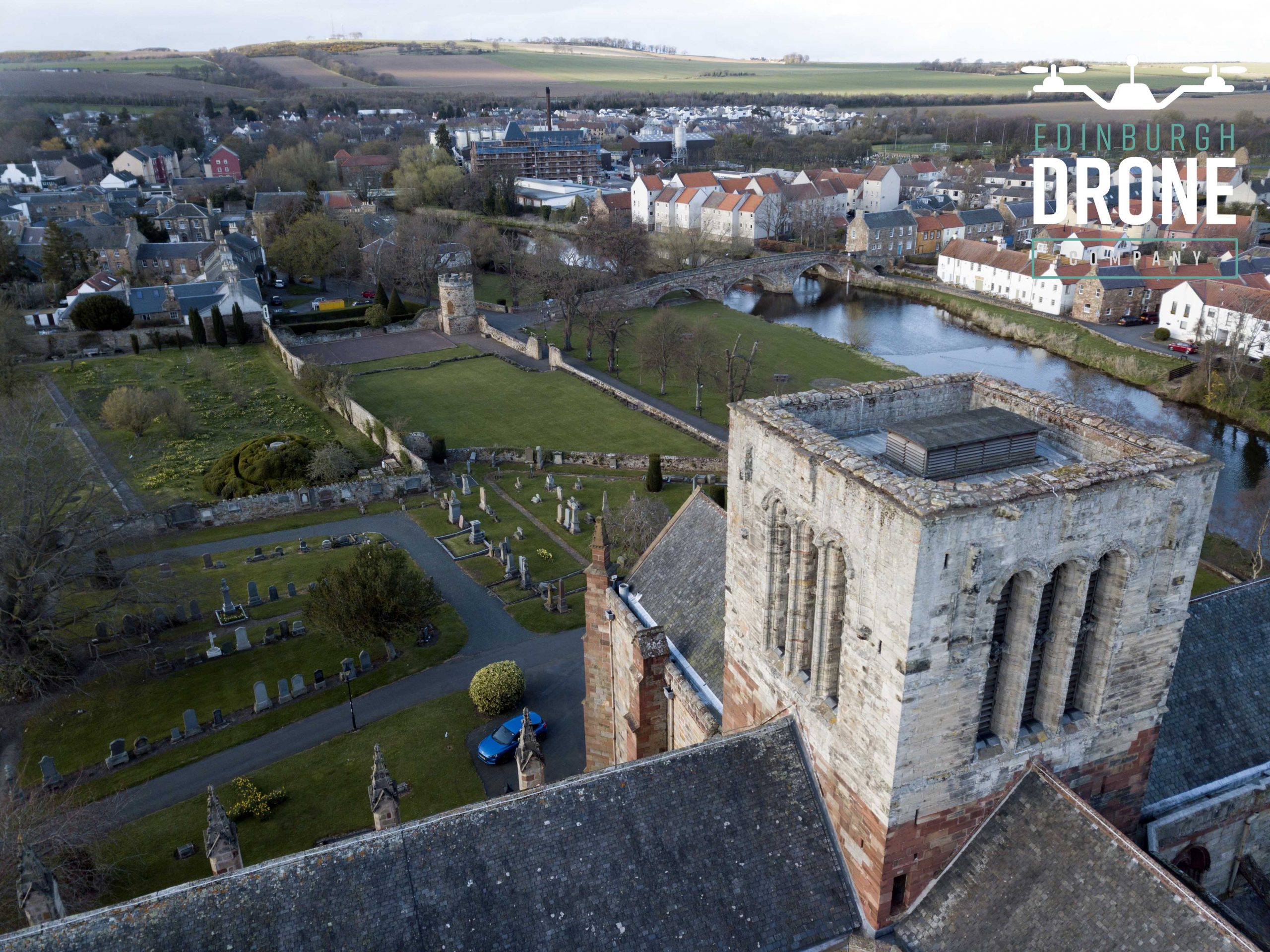
3D point cloud drone survey brought to you by Edinburgh Drone Company.
Edinburgh drone company have been developing our pilots by training them on 3D point cloud drone surveys. We can operate in all areas of the UK to capture images or videos from above to create a 3D render of any building or item. Point clouds can be specifically usefully when create drawings and when we are trying to understand the exact position of objects.
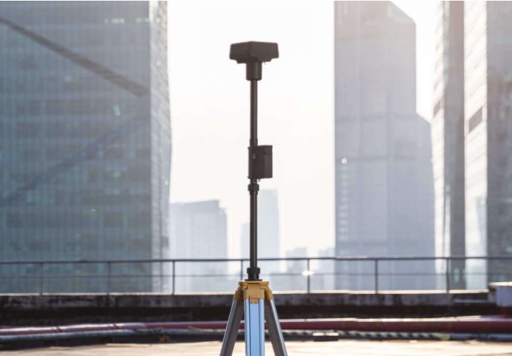
We have access to latest technology and we can use this to fly above properties and buildings to create a highly detailed and accurate 3D building models.
We can use standard RGB images to create point clouds but we also use cutting edge Lidar scanners when required from the likes of Yellowscan.
Process
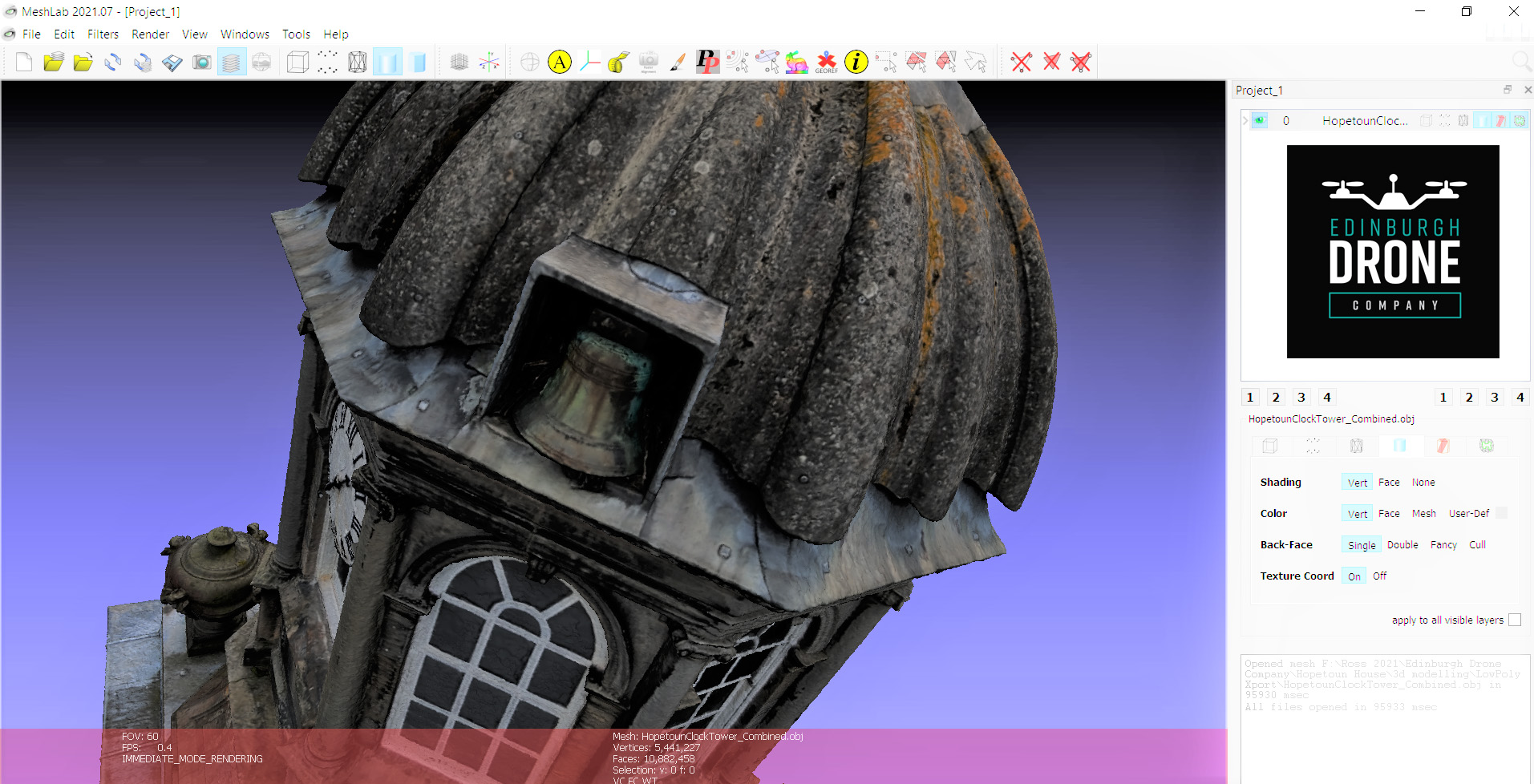
We discuss, plan and price project. On the day we will fly and capture as much detail as we require to create the 3D model. Once we have return to base, we upload the images to a software package we use and then save the file in a file format to suit.
3d Model viewers
Not all viewers are created equal so we will advise on what 3D user to use on an individual bases to suit the requirement.
Permission
We need 2 sets of permission in order to execute an aerial 3D drone model. We need land owners permission for take off and landing. We also require CAA permission to operate the drone we are using and to be able to fly in the area. At the moment, all our pilots are fully qualified and insured for any job we have been asked so far. If you have a difficult requirement, get in contact as we can always get the job done.
Official Surveyor
We will use an official surveyor when required and sub contract this facility in. We do lots of photogrammetry and mainly supply the data to be used and review by a skilled and qualified surveyor. That being said, we are happy to work with surveyors and take care of the flight so all you have to do is survey the data we provide.
Live Interaction from Skilled team member
We are happy to have surveyors or similar qualified trades present when we are operating. No distractions can be around when our pilots are flying so if you require this facility, it is not standard and we will allow for a live link facility next to our spotter who can relay instructions via video link when requested and at appropriate height / survey location.
Here you can have a look through some of the enterprise drones from DJI:
Full range available just contact us
A bit about Edinburgh Drone Company and should you ever need to build a drone then have a look over our drone manufacturing page.
Remember, contact is to hear about how we can help you achieve a 3D point cloud drone survey’s that are highly accurate and usable.
TRAINING ON 3D AERIAL DRONE MODEL
At EDC our pilots and management are constantly training and checking out the latest software so we can advise on the best solution.
For our training offering, please check out our TRAINING page.
Next steps…
After you have master standard 2D and 3D data capture we advise progressing you along on to oblique paylods with 5 lenses instead of 1. This speeds up data capture massively and improves data captures. Check out our OBLIQUE drone camera range – SHARE UAV.