
Yuneec H520e RTK

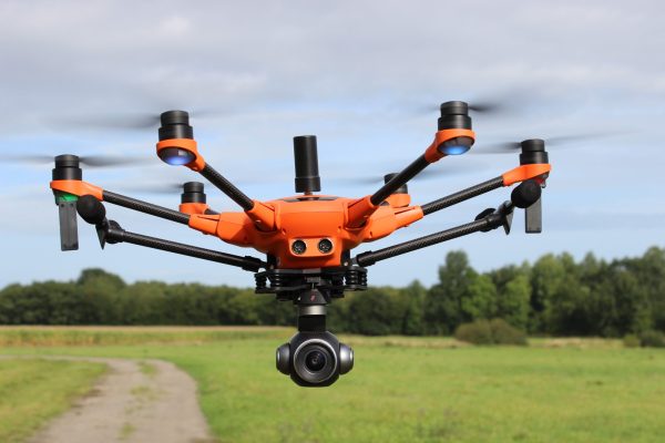
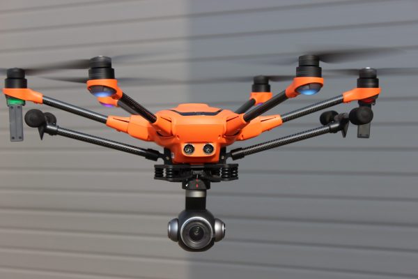
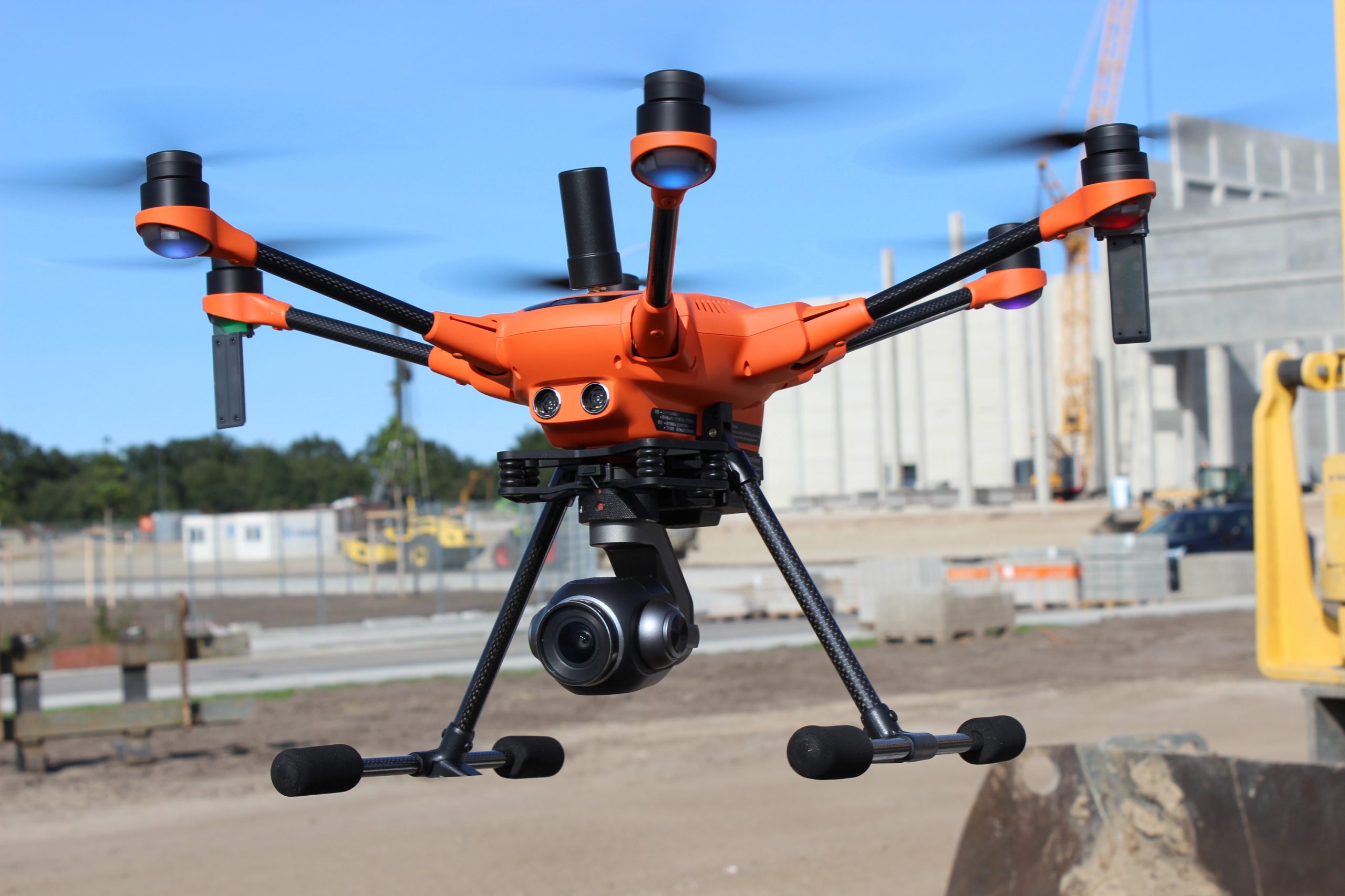
H520E RTK (REAL TIME KINEMATICS)

Centimetre-level accuracy thanks to Real Time Kinematics


One of the fastest RTK systems in the world


The commercial Hexacopter H520E receives one of the fastest
and most reliable RTK systems in the world. Fully integrated
into the H520E, it ensures the highest precision and the fastest
possible operational readiness even under difficult GPS conditions
like in cities, canyons or forests. Thanks to Real Time Kinematics
satellite navigation the new H520E RTK will be able to stand in the
air with centimeter accuracy, enabling extremely precise, repetitive
photos, faster 3D mapping and more accurate, even automated,
inspection flights.

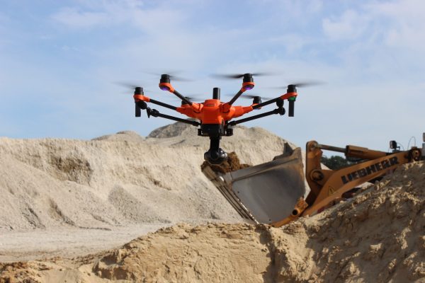
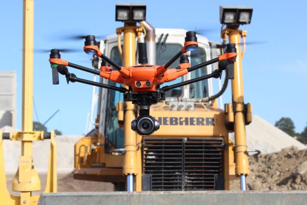
Yuneec H520e RTK – Key Features


  • RTK (Real Time Kinematic) module for high accuracy relative
    positioning: 1 cm + ppm horizontal / 1.5 cm + ppm vertical
  • Keep cm precision in even GNSS challenging environment
    (e.g. between high buildings)
  • For faster and more precise mapping (e.g. complex surveying,
    inspections, mapping, 3D displays)
  • 5 Hz update rate of position, velocity and time
  • Fully integrated to YUNEEC H520E
  • All data including raw GNSS data and real time solution can be
    logged on board – ready for PPK (Post Processed Kinematics)
  • Support signals of up to 3 GNSS constellations among GPS,
    GLONASS, Galileo and BeiDou
  • Compatible with all existing Yuneec H520E camera payloads
  • Network RTK or Base Station needed.

2 components for a centimetre-level positioning

The system works with 2 components, an RTK module on board of the H520 and a base station. In less than 30 seconds it can reach a centimeter-level accuracy, also under challenging GPS conditions (with respect to the base station). For an absolute global centimeter-level accuracy and in case you don’t want to use a base station, the system can also be operated with a network RTK reference station (Network RTK through third party provider, needs an internet connection, additional fees may apply).

Real Time Kinematics – Application areas

The RTK system is an important part of commercial applications where highest precision is required. A classic field of application is 3D mapping, for example with Pix4D, Dronedeploy or Altizure software. With the help of RTK, there are significantly lower image overlaps which means that less photos and thus a shorter flight and calculation time are necessary. In addition, inspections can be much closer to the desired object because the drone’s location will be precise down to the centimetre. This precision is also a great advantage when comparing several images taken on different days, for example to document a construction progress.

All the benefits of the standard drone –H520e


The entire Yuneec range that EDC will be offering:

Drones:

H520e

H520e -RTK

Typhoon H3

Typhoon H plus

Payloads:

E30zx

E90x

E10Tvx – 640

E10T

Autel drones in action

Would you like to know more about how Yuneec drones can help your business?

Well don’t delay, get in contact with our Director to discuss your requirement – Contact us… And remember, if we can supply it off the shelf then we can always build you a drone solution to suit your need exactly! Link to Yuneec’s official UK site